Field Notes #3: Kullorsuaq
This is part of a series of field notes from Greenland. Read Field Notes #1: Niaqornat or view all related Imaging the Arctic posts.
We left the beautiful settlement of Niaqornat to fly north to Kullorsuaq (74°34′45″N 57°13′05″W), the next base of field operations for biologist Dr. Kristin Laidre. Her research was shifting focus, from narwhals to polar bears. Her bear fieldwork is a collaboration with Dr. Erik Born of the Greenland Institute of Natural Resources who I’d previously worked with in East Greenland in 2010 for my High Latitudes project.
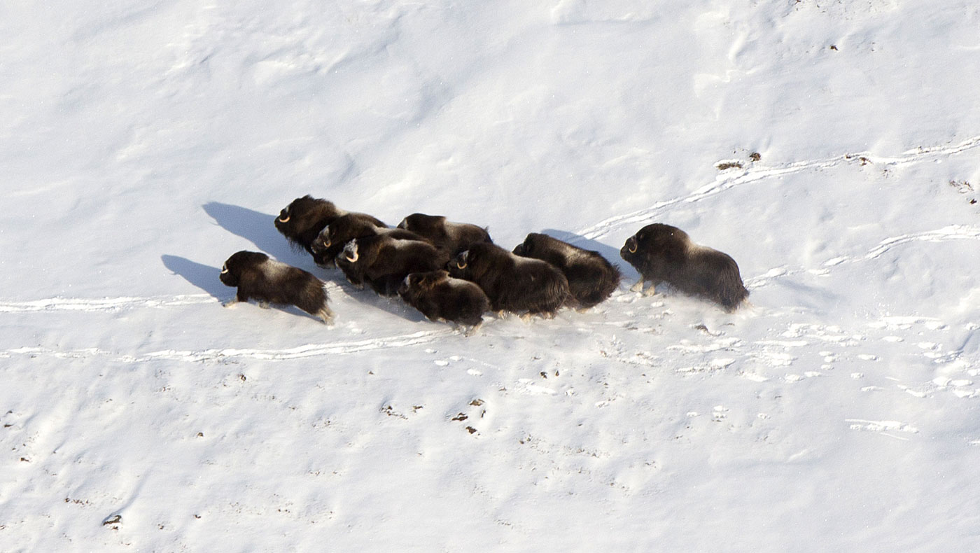
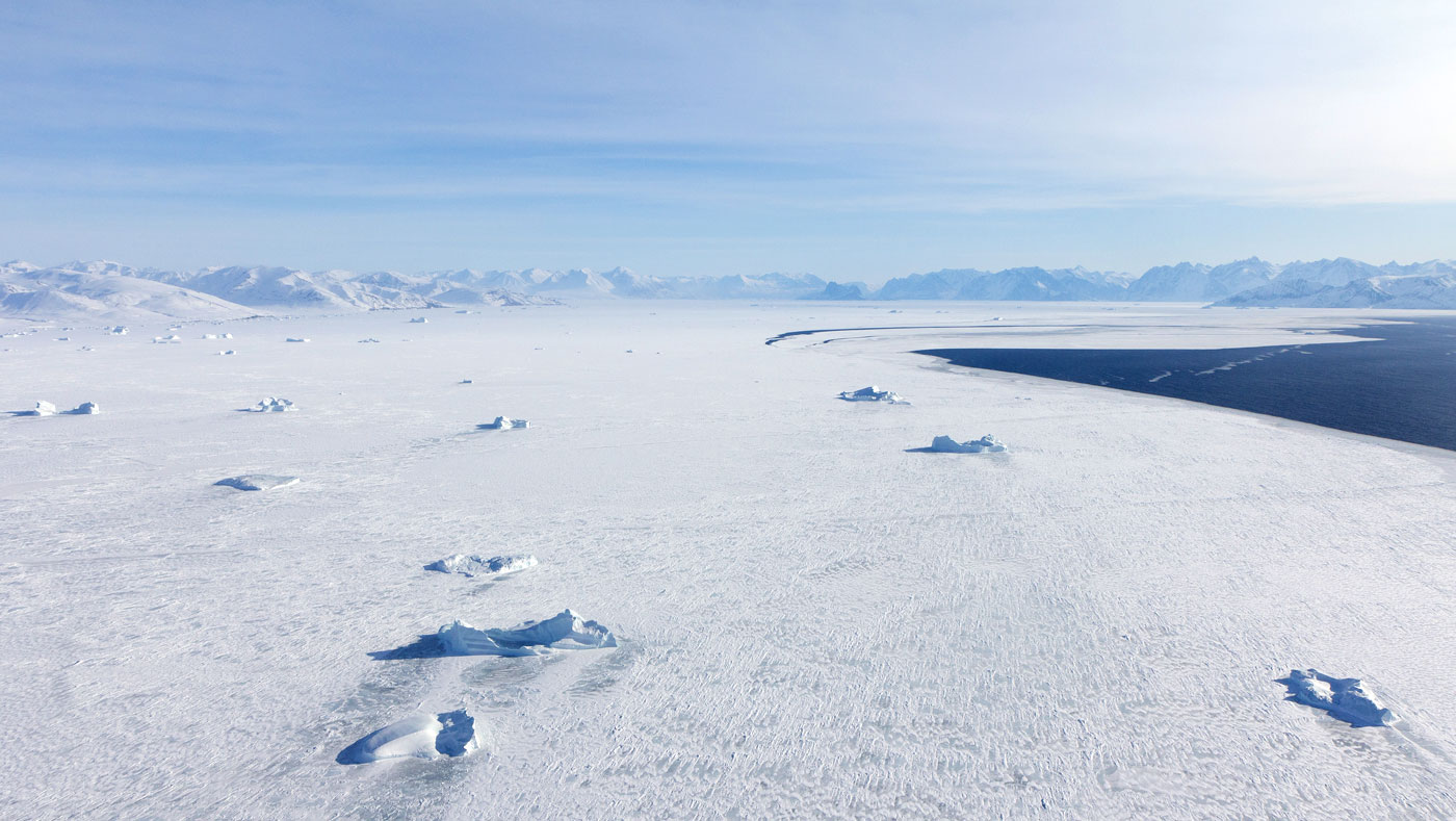
As we flew 275 miles north, the open water of the Ummanuaq fjord transitioned to fast ice, or sea ice that’s frozen to the landscape. Stately icebergs were locked into place and while flying over the mountains, we startled a large herd of musk oxen.
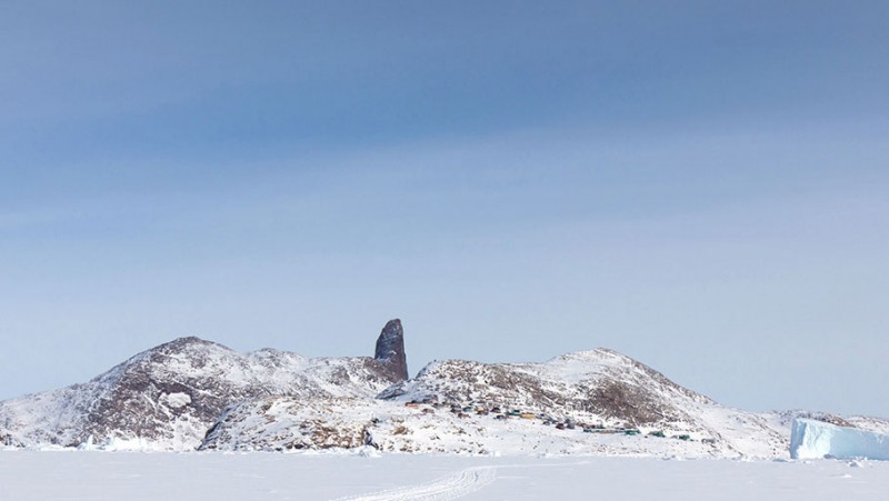
Kullorsuaq is located at the base of an iconic mountain known as the “Devil’s Thumb”, and is home to approximately 430 people. Unlike our previous home base of Niaqornat, Kullorsuaq was still surrounded by fast ice, which vastly extended the boundaries of town life. Sled dogs were still in active use and people were coming and going by foot and sled nearly all day and night.
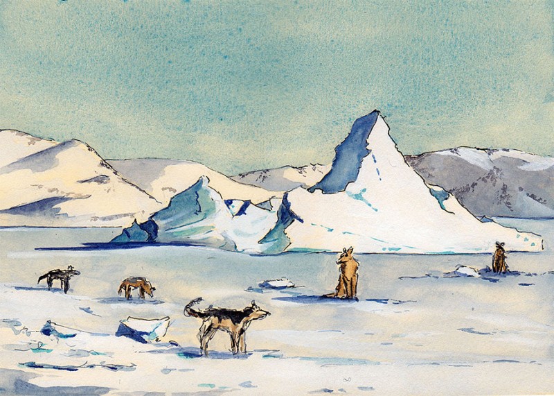
Dog teams were chained out on the fast ice, restlessly waiting for the opportunity to run, and people of all ages were out walking and even playing soccer on the ice.
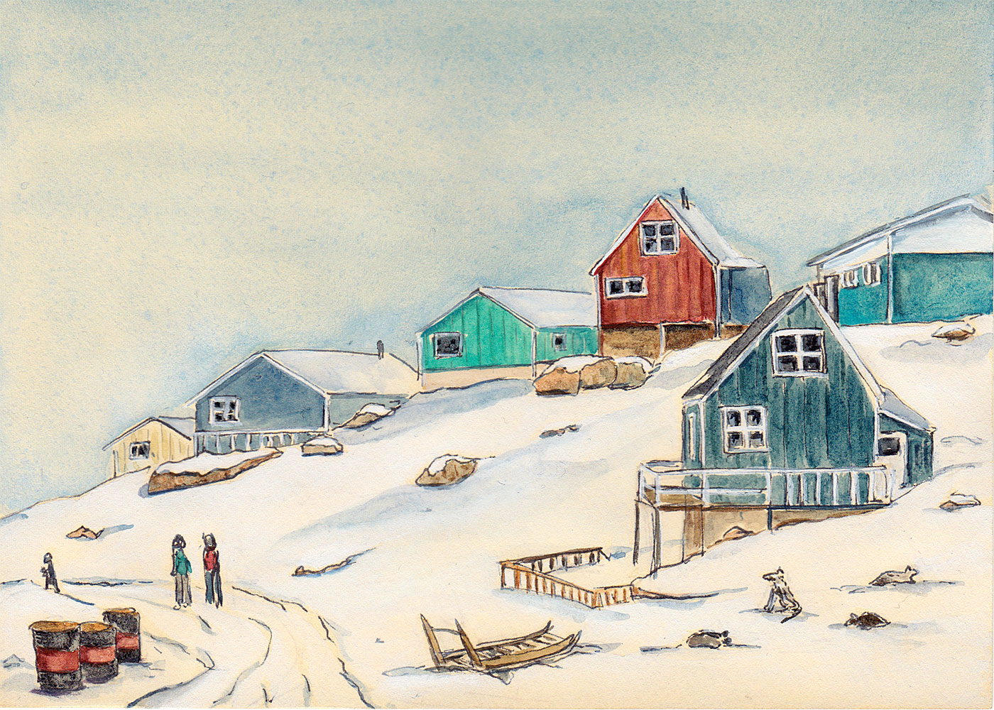
All in all, Kullrosuaq promised to be a colorful and vibrant new base of operations.
This is part of a series of field notes from Greenland, read Field Notes #4: Outreach or view all related Imaging the Arctic posts.
Leave a Reply